

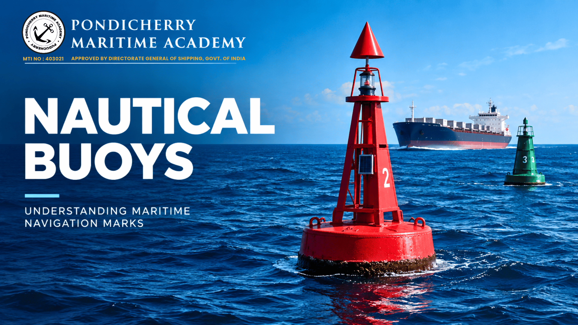
NAUTICAL BUOYS
Discover how nautical buoys guide vessels, mark navigational hazards, and support safe navigation through the world's waterways.
The Silent Guides of the Sea

What Are Nautical Buoys?
Across the world's oceans, busy ports, coastal waters and narrow channels, nautical buoys serve as essential guides for mariners. These floating aids to navigation help ships identify safe passage routes, recognise navigational hazards and locate important boundaries on the water. Although they may appear simple from a distance, each buoy is designed to communicate specific information through its colour, shape, light characteristics and, in some cases, sound signals.
Unlike lighthouses and fixed navigation marks, buoys are generally anchored to the seabed while remaining visible above the water. Their positions and characteristics are recorded on nautical charts and included in navigational publications. For officers on the bridge, recognising these marks is an important part of passage planning, pilotage and maintaining situational awareness.
The Importance of the IALA Maritime Buoyage System
The International Association of Marine Aids to Navigation and Lighthouse Authorities (IALA) developed the internationally recognised Maritime Buoyage System to promote consistency in navigation marking. The system helps mariners interpret buoy colours, shapes, topmarks and light patterns when navigating unfamiliar waters.
The system has two regional arrangements, Region A and Region B, which differ principally in the colours used for lateral marks. Mariners must know which arrangement applies to the waters in which they are sailing. Understanding this distinction is especially important for officers navigating internationally, where assuming that all buoy colours have the same meaning can lead to dangerous mistakes.
Understanding the Different Types of Nautical Buoys

Lateral marks indicate the port and starboard sides of a navigable channel. Their colours and shapes depend on the applicable IALA region. In Region A, red marks indicate the port-hand side and green marks the starboard-hand side when proceeding in the conventional direction of buoyage. In Region B, these colours are reversed. The direction of buoyage is normally established when entering from seaward toward a harbour, river or other waterway.
Cardinal marks identify the side on which navigable water lies relative to a hazard. They are named North, East, South and West, and their black-and-yellow colour patterns, topmarks and light characteristics help mariners determine the safe side to pass. These marks are particularly valuable near isolated dangers, reefs and underwater obstructions.
Isolated danger marks indicate a danger with navigable water surrounding it, while safe water marks identify areas where water is navigable around the mark, such as fairway approaches or channel entrances. Special marks, usually yellow, indicate particular areas or features referenced on charts, such as restricted-use zones or designated installations. Each type has a specific navigational meaning and must be interpreted correctly.
Reading the Signs of Safe Navigation

Colours, Shapes and Light Characteristics
A nautical buoy communicates through several visual features that work together. Its colour provides an initial indication of its purpose, while its shape and topmark help confirm the type of mark. Many buoys also carry lights that make them identifiable at night or during reduced visibility.
For example, lateral marks use prescribed colours and shapes, while cardinal marks display distinct black-and-yellow patterns and, where fitted, white lights with characteristic flashing sequences. A North cardinal mark has two black cones pointing upward, while a South cardinal mark has two cones pointing downward. East and West cardinal marks have paired cones pointing in opposite directions, arranged according to their respective patterns.
Mariners must not rely on colour alone. Light rhythms, topmarks, charted positions and the surrounding geography all contribute to correct identification. Navigational charts and official publications provide the information needed to interpret individual marks accurately.
Buoys and Modern Navigation Technology
Modern bridge equipment has improved how navigators locate and interpret nautical buoys. Electronic Chart Display and Information Systems (ECDIS), radar, GNSS and other navigation tools help officers monitor a vessel's position relative to charted marks and potential hazards. Buoys may also appear visually on radar, depending on their size, construction, distance and prevailing conditions.
However, electronic systems do not eliminate the need for traditional navigation skills. Buoys may move from their charted positions, lights can fail, and floating marks may become difficult to see in fog, heavy rain or rough seas. Navigators must cross-check electronic information with visual observations, radar information, charted data and navigational warnings. Any discrepancy should be assessed carefully before proceeding.
The Role of Buoys in Maritime Safety
Nautical buoys are essential to the safe movement of commercial vessels, fishing boats, passenger ships and recreational craft. They help define navigable channels, warn of hazards and identify special areas where particular precautions may be necessary. In congested ports and coastal waterways, correctly interpreted buoyage helps bridge teams maintain a safe route while coordinating with other traffic.
Their effectiveness also depends on proper maintenance and monitoring. Maritime authorities and aids-to-navigation service providers inspect, maintain and reposition marks when required. Damaged, displaced or unlit buoys may be reported through established channels so that appropriate action can be taken.
A Fundamental Skill for Every Seafarer
For maritime students and professional navigators, learning buoyage is more than memorising colours and shapes. It requires understanding the direction of buoyage, recognising the applicable IALA region, interpreting light characteristics and applying this knowledge to real navigational situations.
During passage planning and bridge watchkeeping, officers should identify relevant marks on the chart, anticipate their expected appearance and verify them as the vessel approaches. Simulator exercises and practical observation help cadets develop the confidence to recognise buoys and respond appropriately.
Nautical buoys may be small compared with the ships they guide, but their contribution to maritime safety is enormous. By understanding these silent markers, seafarers strengthen their navigational awareness and help ensure safer passage through the world's waterways.